Drone surveying is an ever-changing landscape, largely because drones are versatile and therefore can be outfitted with new equipment all the time. New innovations, methods, and techniques often change the way geospatial professionals approach worksites and tasks, which can really keep you on your toes. The two most well-known types of drone surveying utilise LiDAR imaging or photogrammetry. Both have their own benefits and drawbacks, and their usefulness depends on the specific application. Not sure which one to pick? No problem, we’ll walk you through your choices to help you decide what’s right for your project.
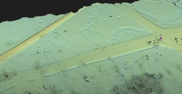
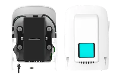
LiDAR stands for “light detection and ranging” and is similar to radar technology. LiDAR imaging works by sending out laser pulses in the direction of a worksite or general surface, and then measuring the pulses reflected back through a LiDAR sensor. This method works on surfaces like trees, cliffs, and open ground. You’re then able to calculate a series of distances based on multiple points of reflection, with which a point-based model or 3D map can be constructed – these are called LiDAR point clouds. Because LiDAR physically bounces lasers around in order to scan surface area, the data collected is quite vertically accurate. If you’re scanning denser vegetation-filled areas, LiDAR beams can penetrate the empty space between these branches and, in some cases, through to the ground.

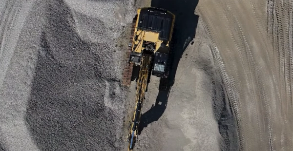
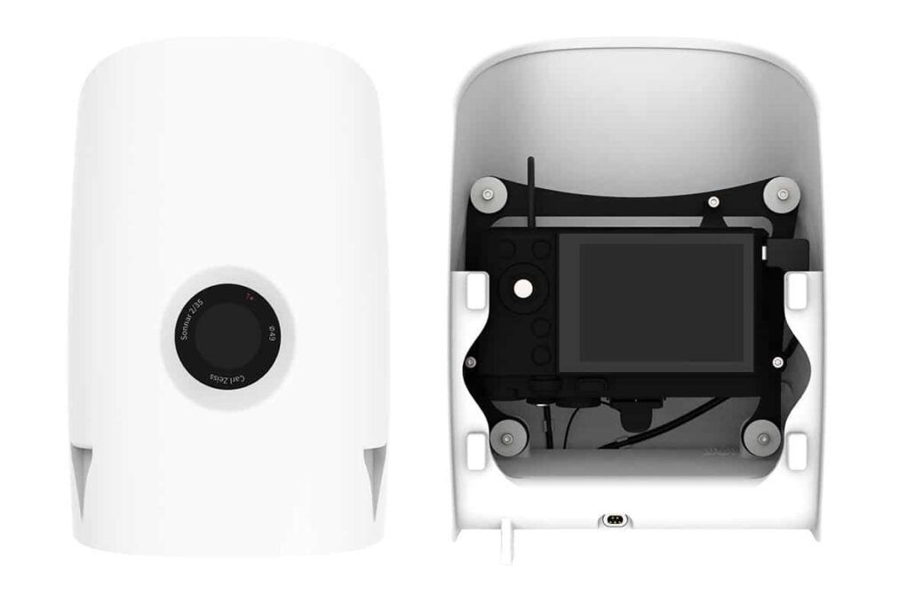
Using photogrammetry for aerial mapping applications involves taking multiple images of a landscape in order to construct an overall 3D map of the terrain using a series of sequential images. This method allows for an accurate visual representation of the terrain for a lower price. High-definition cameras mounted to survey-grade drones are one of the most effective ways to visualise a property or space. Because photogrammetry requires a less complex (and subsequently, potentially less expensive) payload in order to be carried out, you may find this method a little easier to wrap your head around. Photogrammetry is reliable, however in areas with higher levels of vegetation, it may be more difficult to get accurate ground level models when compared to LiDAR imaging. This is because the cameras can’t see through to the ground, meaning they can’t accurately gauge the lay of the land.

The largest difference between our two aerial surveying systems is the way in which they gather data. Because Aptella offers multiple drones for sale, it’s important to consider what you’re going to need the drone to scan, and which system might be best-suited for the job. Both drone mapping systems can be used in a range of different circumstances, so we’ve broken down what you’ll need to consider:


Both types of surveying drones we offer will effectively image your land using accurate methods. It’s important for you to decide which type of drone will serve your location and desired outcome best, and if you’re able to meet the operational needs of the system you choose. Aptella offer a range of drones for sale that could prove useful to your projects. If you want to speak with our friendly team today, we’re happy to help you choose the best drone configuration for your circumstances.

Kami membangun bisnis dengan memberikan solusi teknologi konstruksi untuk meningkatkan produktivitas pelanggan kami.
PT Aptella Solusi Teknologi
NPWP: 70.620.776.8.017.000
2024 Aptella | NPWP: 70.620.776.8.017.000 | Terms and Conditions | Privacy Policy