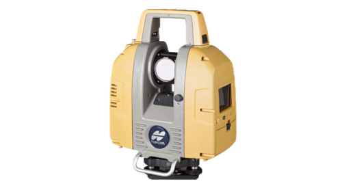
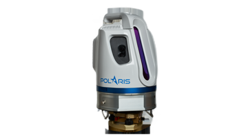
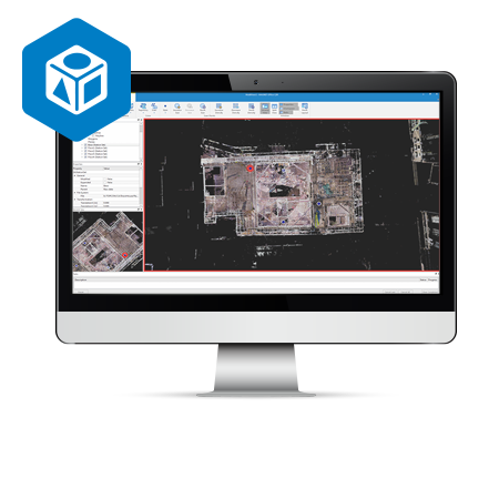
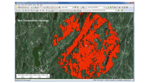
Mass data capture solutions to create accurate 3D models of the built environment or landscape, including terrestrial 3D laser scanning and survey-accurate RPAS technology. As well as the tools to capture data efficiently and safely, Position Partners offers a wide range of leading software solutions to enable geospatial professionals to analyse, model and report on data.
Showing 1–16 of 20 results

We source, deploy and support intelligent positioning solutions to enhance our customers’ productivity.
Aptella Pty Ltd
ABN 56 130 367 065